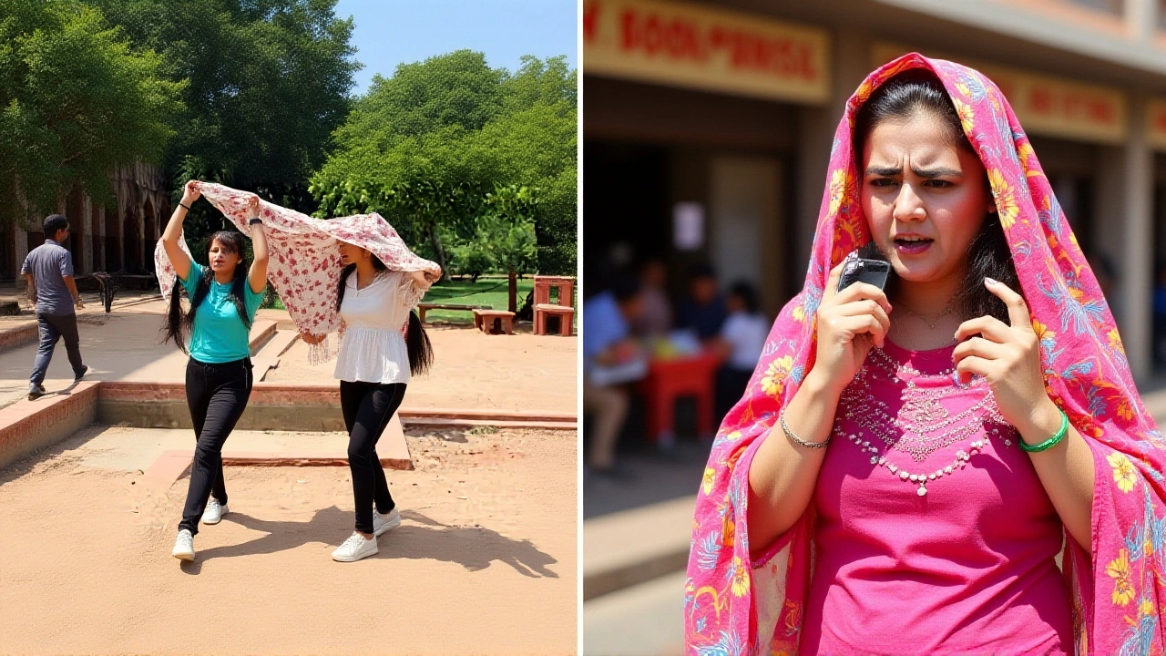
After days of sweltering temperatures that turned Delhi into an open-air oven, there’s finally a glimmer of relief. The Indian Meteorological Department (IMD) has predicted thunderstorms and rain, offering a much-needed break from the severe heatwave gripping the National Capital Region.
The forecast comes as residents have endured maximum temperatures hovering around 44°C, with nighttime lows refusing to drop below normal levels. Here’s the thing: it’s not just Delhi feeling the burn. The entire northwest region is under intense scrutiny, but this sudden shift in weather patterns could be a game-changer for millions.
A Red Alert Turns Into Cool Breezes
Just last Thursday, the IMD issued a red alert—the highest warning level—for extreme heat across Delhi-NCR. It was a stark reminder of how dangerous these conditions can get. But now, the mood on the ground is shifting. According to reports from DD News, scientist Akhil Srivastava, Scientist at Indian Meteorological Department provided detailed insights into the changing atmosphere.
Srivastava explained that while daytime highs remain stubbornly high, the arrival of thunderstorms with wind speeds between 40 and 60 km/h is expected by Friday night. This isn’t just a gentle drizzle; we’re talking about gusty winds accompanied by lightning and moderate rainfall. Interestingly, this pattern is likely to persist for the next two to three days.
The impact? A noticeable drop in temperature. Srivastava estimates that by June 15 or 16, Delhi’s maximum temperature could fall to approximately 40°C—a cooling effect of about 4 degrees Celsius. For a city baking at 44°C, that difference feels significant.
What’s Happening Across North India?
While Delhi gets some reprieve, other parts of the country are still struggling. Western Rajasthan remains under a red alert for severe heatwaves, with nights staying uncomfortably warm. Punjab and Haryana also face red alerts for potential extreme heat over the next couple of days.
However, the outlook isn’t uniformly bleak. Uttar Pradesh and Jammu & Kashmir have been issued orange alerts, indicating slightly cooler conditions during the weekend. This suggests a gradual easing of the heatwave across broader northern India, though caution is still advised.
On May 26, 2026, data showed Delhi’s temperature recorded at 42°C, with humidity dropping to a mere 7%. Air quality remained poor, with an AQI of 191, highlighting the dual challenge of heat and pollution facing residents.
Immediate Weather Changes on the Ground
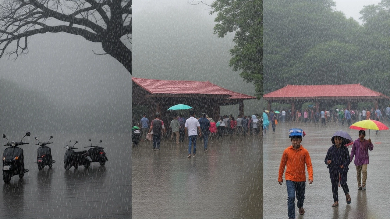
If you’ve been outside recently, you might have already noticed the shift. TV bulletins reported sudden changes in weather, with drizzle and strong winds hitting several NCR cities. People were seen stepping out briefly, enjoying the temporary coolness after weeks of stifling humidity.
The IMD warned of heavy rain accompanied by strong gusty winds within a two-hour window in certain areas. While the rainfall intensity may vary, even light showers provide immediate psychological and physical relief. The combination of thunderclouds and wind speeds of 30-40 km/h signals a dynamic atmospheric change.
But wait—don’t pack away your sunscreen just yet. The relief is temporary. Experts warn that while temperatures will dip, they won’t return to comfortable spring-like levels immediately. The heatwave’s grip loosens slowly, not all at once.
Why This Matters Now
This weather event underscores the increasing volatility of climate patterns in North India. With urban heat islands exacerbating temperatures in cities like Delhi, any natural cooling mechanism becomes crucial for public health. Hospitals have reported spikes in heat-related illnesses, making this forecast vital for emergency planning.
The connection between rising global temperatures and local extreme weather events is becoming clearer. As we see more frequent red alerts, understanding these forecasts helps communities prepare better. Whether it’s adjusting work hours or staying hydrated, small actions matter.
What to Expect Next
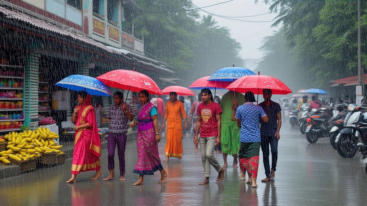
In the coming week, expect continued variability. Thunderstorms may bring sporadic rain, but clear skies could return quickly. Temperatures are projected to stabilize around 40-42°C before gradually declining further by mid-June. Keep an eye on local updates, as conditions can change rapidly.
For those traveling, especially to Rajasthan or Punjab, plan accordingly. The heat there remains severe, and travel advisories should be heeded. Meanwhile, Delhi residents can breathe easier, knowing the worst of the current heatwave is passing.
Frequently Asked Questions
When will the heatwave end in Delhi?
The most intense phase of the heatwave is expected to ease by June 15-16, with temperatures dropping to around 40°C. However, occasional spikes may occur until the monsoon season fully arrives later in June.
Is it safe to go outdoors during the storms?
It is advisable to stay indoors during active thunderstorms due to risks of lightning and strong winds up to 60 km/h. Wait for official all-clear signals before venturing out, especially if you live in low-lying areas prone to waterlogging.
How does air quality affect heat stress?
Poor air quality, with AQI levels around 191, compounds the effects of heat by reducing respiratory efficiency. This makes it harder for the body to cool itself, increasing the risk of heat exhaustion, particularly for elderly individuals and children.
Which regions are still under red alert?
Western Rajasthan, Punjab, and Haryana remain under red alerts for extreme heat. Residents in these areas should continue taking precautions against dehydration and heatstroke, as nighttime temperatures remain elevated.
Will the rain help reduce pollution?
Yes, rainfall acts as a natural scrubber for airborne particulates. The predicted storms should temporarily lower PM2.5 and PM10 levels, providing cleaner air alongside cooler temperatures. However, long-term improvement requires sustained precipitation.